

16 – Terrain and Aerial Imagery for CAD Programs
Getting good terrain with high resolution imagery is like the holy grail in 3D modeling and visualization. If it isn’t difficult, it is overly expensive. That said, it is one of the most important parts in the entire visualization process and getting it right will be the difference between your project looking like it is falling off the earth to being completely believable.
Player above not working? Either click here, or right-click and “Save Link” to download the episode.
Terrain is usually the first thing you should worry about with your model. It is like the canvas for your 3D visualization. It also gives context to your project- without it your renders will look funny.
It is also probably the most difficult part to do right. Obtaining high resolution imagery and good terrain is a challenge without expensive software or expertise and even after you get the terrain it can be difficult to work with.
In fact, there are only a few situations where you wouldn’t need good terrain and imagery including concepts, nearly flat areas where you can get away with it being flat and large site redesigns that have a large enough design surface to not use existing terrain.
We are going to talk about 5 ways you can get GOOD terrain and imagery for your projects. It is an art I have been trying to wrap my mind around for years and have gotten better but still haven’t solved. If you have additional ways to get good terrain and imagery, let us know in the comments. I’ve personally used 1,2,3,5 and 6.
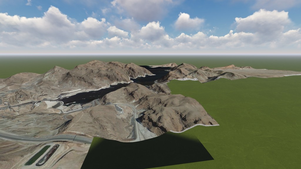
- InfraWorks Model Builder (One of my favorites, but still in beta)
- USGS Terrain with Google Earth Imagery (ArcGIS)
- Buy from MapMart or other online retailer
- Use plugin for 3ds Max or other modeling software
- Use Sketchup Pro to stitch terrain and imagery together (One of my favorites, see video below)
- Project documents – Client surface and imagery
- Magic, because none of the previous six are perfect solutions, especially if you are on a budget