

How to Make a 3D Road Cross Section
If you haven’t heard yet, visualization challenges are here at Civil FX, hopefully to stay. If you aren’t yet sure why we are doing these challenges, this is the explanation from the actual VC page:
“I developed the concept of the visualization challenge when I was thinking about how to put the theories and concepts I discuss on the Civil FX Blog and Podcast into actual practice. These simple challenges allow anyone with any background to practice with real world examples and learn from their own experience and the experiences of others.”
The first challenge ended last week and I was pleased to not only see four submissions but that the quality of at least four of them was incredible. Okay, so one of the submissions was from me and I am unbiasedly proclaiming that my work was towards the bottom of the pile, but all were fairly similar. You can see all four submissions by clicking here.
While this first challenge had a fairly small sample size, the results already show what I was hoping they would. For one, everyone used at least a slightly different workflow with different software. This shows that there is no right answer when it comes to using software in 3D visualization in civil engineering. Even a 3D visualization firm like Civil FX Studios will sometimes use one workflow and sometimes use another depending on factors like the project, client and existing CAD information.
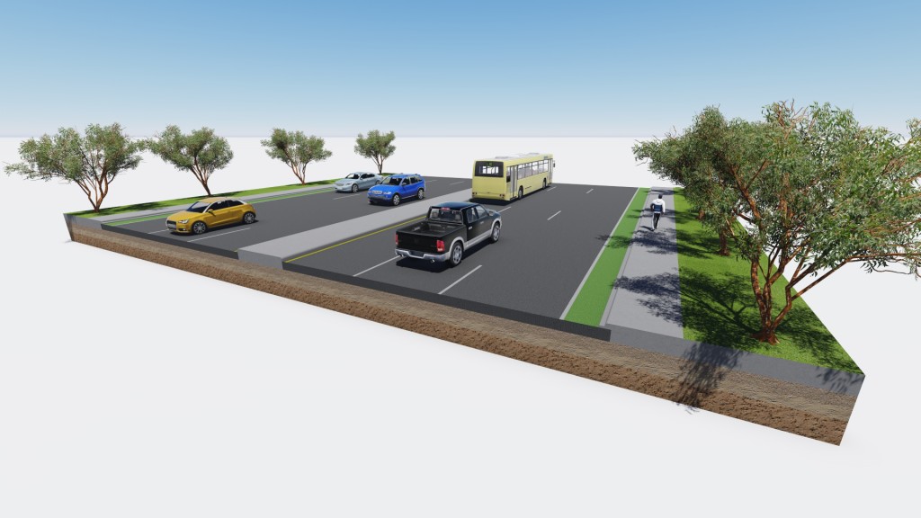
This first challenge also showed that four different people can look at the same data and interpret it differently while still being accurate. Was the median concrete or greenscape? Well, the information didn’t really make that clear so either answer was correct. What about light poles? Where is this project located so that we can know which direction traffic is flowing? These gaps were filled by the participants in interesting and beautiful ways.
I can’t wait for the second challenge which starts late next week on the 1st of February. I’m not announcing what the challenge is yet, but I’ll hint that it involves bridge modeling and photoshop.
As for my submission to the 1st visualization challenge, well I decided to click the record button before I started and thanks to video editing software I compressed about an hours worth of work into a few minutes so that you can reverse engineer how I came up with my 3D road render by watching this video: