

31 – The Second Step of 3D Visualization: 3D Modeling
The 4 steps of 3D Visualization is a simple framework I created to help explain the visualization process and is fundamental to understanding what goes into the animations and renderings created for civil engineering projects. This is the second in a four part series that will break down this four step process.
Player above not working? Either click here, or right-click and “Save Link” to download the episode.
Civil FX Updates
- Still working on creating the first visualization challenge which should be released Jan 1
- Subscribe to the mailing list for visualization challenge and other Civil FX updates- email me personally at sam@civilfx.com if not working
- Was able to visualize my parents property and posted the video on Civil FX
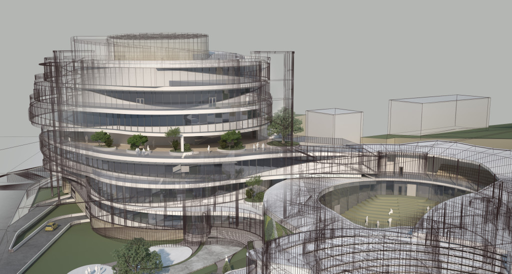
The Second Step of 3D Visualization: 3D Modeling
- This is part 2 in a four part series
- If you haven’t heard part one I recommend you start by clicking here
The Types of 3D Modeling
- There are essentially two different types of 3D modeling for infrastructure visualization: existing and proposed
- There are technically other types of 3D modeling such as ‘could be built’ stuff for alternatives, but we will just lump all of that with proposed
Existing Condition Modeling
- For existing modeling, I recommend listening to episode 10 of this podcast called 5 Ways to Gather Information About the Existing World
- Modeling existing conditions can be done on an entire spectrum of detail: from point cloud data modeling to generic white buildings
- Your own level of detail will be dictated by the project and by the client
- Existing condition modeling can be difficult because anyone can go to that location or look at a picture and automatically know if you got it right or not
Proposed Condition Modeling
- Typically built from CAD data which could include linework, surfaces or other information
- While you will gain much information from the design data, there will still be a gap between the information you have and how it will actually look in the field
- Within this gap includes things like unfinished design, textures, vegetation, landscaping and aesthetics, standard drawing information, local standards and more
- Contractors are experts at filling in this gap but when we are doing the proposed condition modeling, this is our responsibility
- Having a good relationship with the design team if possible will help bridge this gap
Methods of Modeling
- You have several options for 3D modeling and the software you use should be decided by the software the project was designed in, what you have available, what you are good in and how you will do final visualization
- I have successfully accomplished infrastructure modeling using InfraWorks, Civil 3D, Sketchup, Microstation and Revit
- 3ds Max, Blender, Maya and more
- Currently I am trying to use Sketchup for modeling as much as possible even though infrastructure modeling in Sketchup can be difficult because it works well in the lumion workflow
- Texturing can be part of the modeling phase or it can be part of the visualization phase depending on your current workflow